|
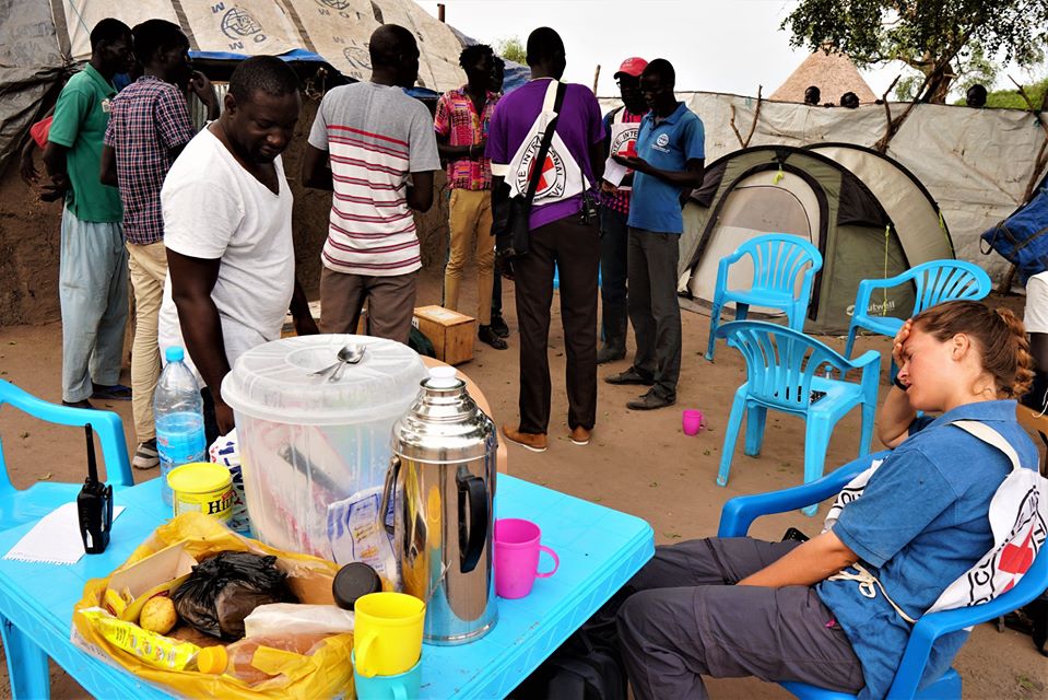
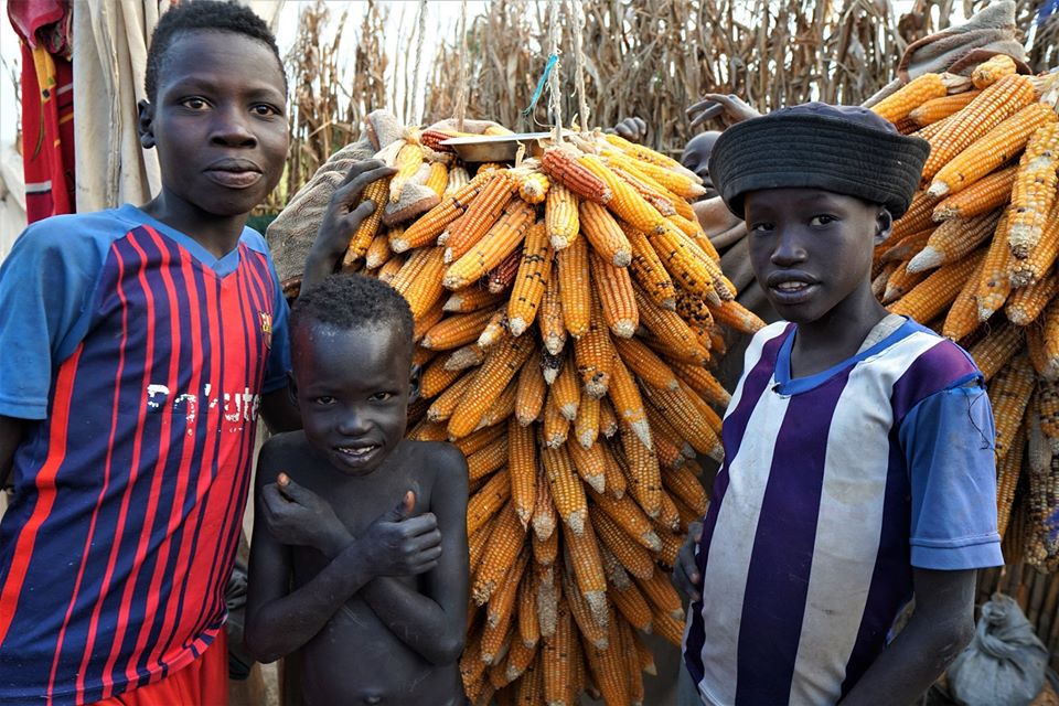
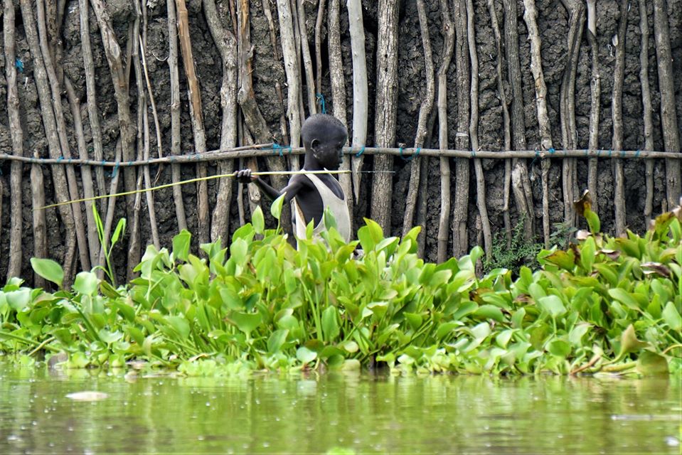
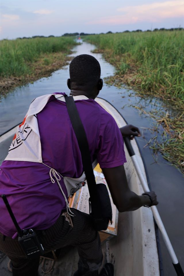
In the morning we boat 30 minutes upstream to Yaakuach. Unfortunately, it has the two types of people I am simply forbidden to photograph, and in abundance. As we approach the bordering wetlands, there are perhaps 50 or so naked boys seemingly frolicking in the wetlands. I then realize they are diving to cut and yank out marsh plants to clear a narrow canal for our two boats to enter. There is the usual large village entourage to greet us and get a good laugh when I debark and nearly do a faceplant in the mud. GBenga can pull out the dance moves to break the ice; I just need my own innate clumsiness. Besides naked boys, photographing any type of military is forbidden. Yaakuach is full of rebel soldiers, largely hanging around waiting for progress in moving to a transitional government and a unified military.
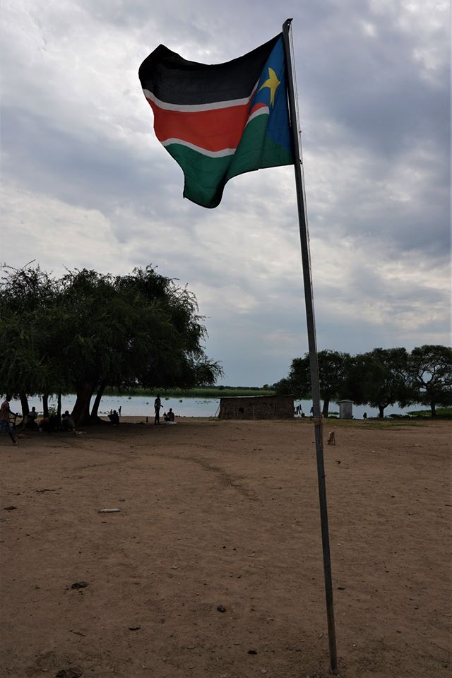
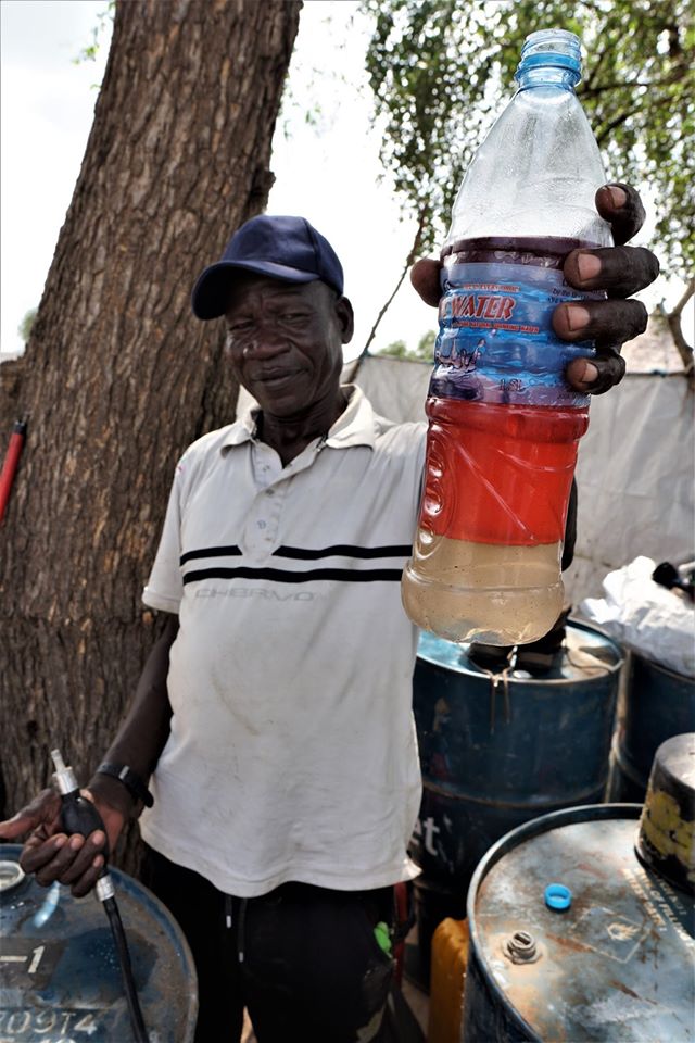
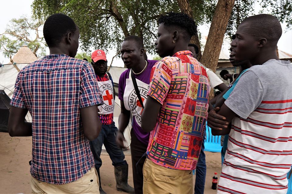
The acknowledged two most challenging conditions of maintaining the Cessation of Hostilities Agreement are integrating the Nuer and Dinka under a single military command structure, and the establishment of State boundaries. The current and only government South Sudan has ever had wants to maintain the current 10 States which will maximize the demographic advantage of the larger Dinka population. The opposition wants to break up the States into 32 smaller States, and thus decentralize the power of Salva Kiir, the President. Of course, an even more fundamental problem is that the President, Salva Kiir, is associated with the ethnically and politically driven ethnic cleansing and mass murder of his own population, while the leader of the opposition, Riek Machar, has a similar resume. In both 2013 and 2016, the Kiir government attempted to kill Machar, even while he was officially Vice President. The bullet holes in the compound wall shared by ICRC and the Presidential residence suggest that the feelings are mutual. There is no flag flying in Yakuach, but there are an anomalous number of young men, some wearing an assortment of uniforms, and a few carrying AK47s. If there is any doubt about who is a rebel and who is a villager, I simply have to reach for my camera and Buzbon, our ICRC Nuer South Sudanese Protection Officer, gives me the eye and a few words. Flags can be misleading as some rebel groups have no flag, others have their own motif, while still others fly the official flag of South Sudan. We run a 600 m survey directly through the village and well into the bush. Like every other village, Yaakuach has no water source other than the wetlands. Unlike other villages, though, the sanitation here is unusually atrocious, with few or no latrines. While carrying out the geophysics survey, I GPS our line locations and a few village landmarks – paths, trees, shoreline, fences – so as any proposed drilling locations can be easily located. We will later overlay all our line locations on to Google Earth for easy georeferencing. But with the flux of people abandoning the villages during the violence, others returning (“returnees”) from the North after independence, and the general cycle of repair and disrepair of the village tukuls, the village architecture on the ground can vary quite rapidly. So as to have access to the most current urban plan, I quickly collect drone imagery at each location. Surprisingly, the Yakuach village leaders OK a quick flight as long as I fly well away from the village center and a few hundred meters up where the sound of the drone cannot be heard. We return to Chuil for a lunch of Nile Perch and rice, and then head downriver to Wuneget.
0 Comments
Leave a Reply. |
Categories
All
Archives
August 2022
|
 RSS Feed